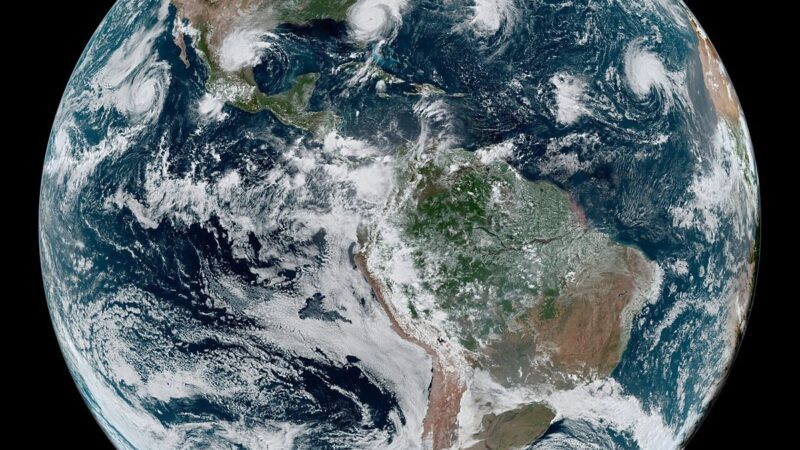
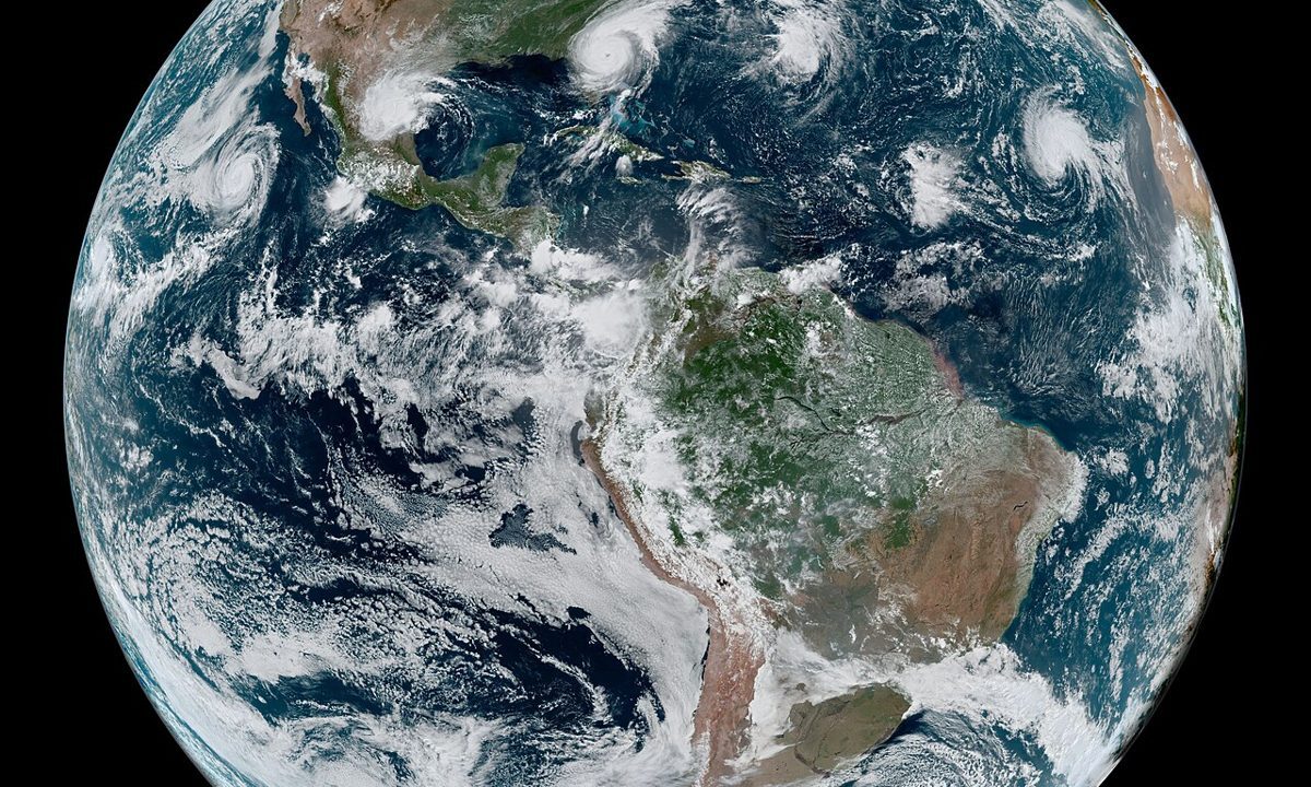
Forecasting a cyclone’s landfall is a race against uncertainty, and the tools forecasters use have improved dramatically, even as the uncertainty remains. Satellites track the storm’s centre, cloud structure and intensity in near real time. Computer models simulate the storm’s interaction with steering winds, sea surface temperatures and land, producing forecast tracks that are compared across models to find agreement. Buoys and aircraft, where available, measure winds and pressure directly. The result is a forecast track with a cone of uncertainty that widens with time, because small errors in the storm’s initial position grow larger as the forecast extends. For Cyclone Arnab, that process has produced a consistent broad outline: a very severe cyclone, a Wednesday morning landfall near Yanam, between Bapatla and Visakhapatnam, with winds of 115 to 125 kilometres per hour and gusts up to 140. Within that outline, the precise crossing point can still shift, and officials prepare a corridor, not a point.
Why the cone matters for decisions
The cone of uncertainty is often misunderstood as a prediction of where the storm will go. It is not. It is a representation of where the storm could go, given the range of plausible model outcomes, and it is designed to help officials decide where to evacuate, where to stage resources, and where to issue warnings. A narrow cone means models agree. A wide cone means they do not, and officials must prepare a larger area. Arnab’s corridor, from Bapatla to Visakhapatnam, reflects a moderate level of agreement: enough to focus preparations on the Andhra Pradesh coast and southern Odisha, but not enough to narrow the warning to a single district. That is why Andhra Pradesh identified 570,000 people for evacuation across a broad coastal area, why Odisha prepared more than 1,700 shelters even though landfall is forecast in Andhra Pradesh, and why schools closed across six Odisha districts rather than one.
Technology and trust
The final ingredient in cyclone forecasting is trust. A forecast is useful only if people believe it and act on it, and trust is built by accuracy over time, by clear communication, and by officials who explain uncertainty honestly rather than hiding it. The India Meteorological Department’s bulletins for Arnab have done that: consistent landfall timing, consistent wind speeds, and explicit warnings about surge, rain and the risk to low lying areas near Kakinada and Yanam. The cyclone forecasting technology report notes that the storm’s movement raises concerns about disruptions to road and rail services, fishing and essential services, all of which depend on people trusting the forecast enough to change their plans. If Arnab makes landfall as forecast on Wednesday morning, the technology will have done its job. Whether the human response matches it, in evacuations, shelters and rescue operations, is the part no model can predict.