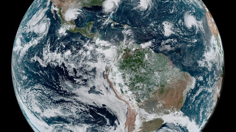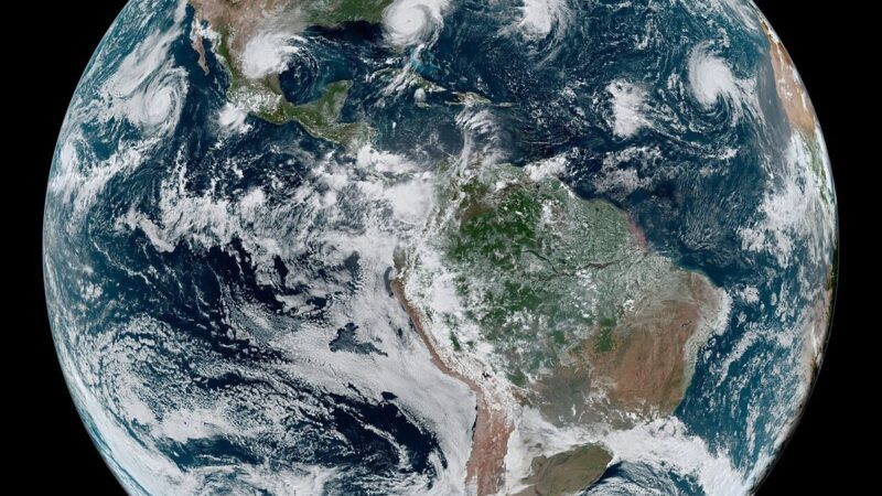
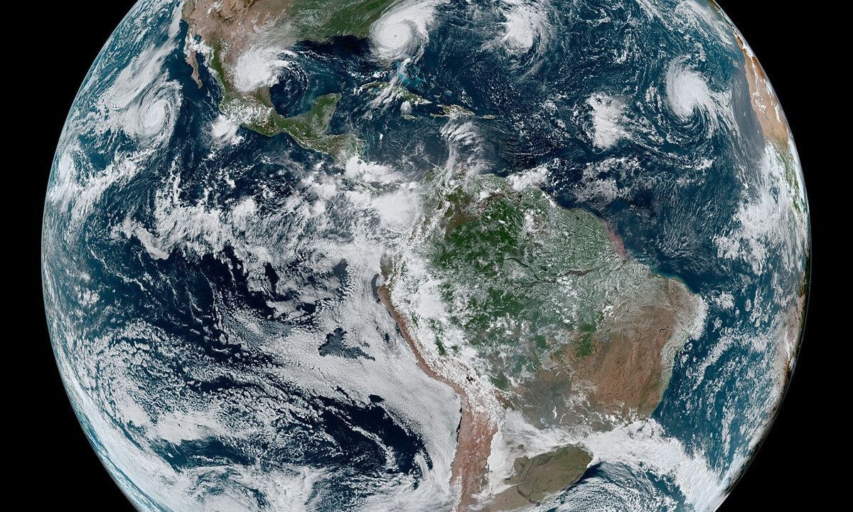
Behind Cyclone Arnab’s landfall figures lies a system that is easy to overlook and hard to overstate: an early warning grid that turned a forecast into action days before the storm reached land. Arnab formed from a low pressure area over the east central Bay of Bengal on October 24, deepened into a depression on October 25, intensified into a cyclonic storm by the morning of October 26, and reached very severe cyclonic storm status before crossing the Andhra Pradesh coast between Bapatla and Visakhapatnam from 0200 IST to 0800 IST on October 28. At each stage, warnings changed, shelters were prepared, and more than 100,000 people were moved to safety across Andhra Pradesh and Odisha. That sequence is the warning grid working as designed.
The grid’s value is not just in satellites and models, though both matter. Satellite observations track a storm’s centre, its wind field and its interaction with land, while models project its track, its intensity and its rainfall. For Arnab, those tools narrowed the forecast to a stretch of coast close to the south of Yanam, warned of a storm surge of 1.5 to 2.5 metres above normal tide, and prompted red alerts for extremely heavy rainfall across Andhra Pradesh and several Odisha districts, with heavy rain warnings extended to Telangana and Jharkhand. The forecast cone, which widens with uncertainty and narrows as landfall approaches, gave authorities days to act rather than hours to react.
From forecast to shelter
A warning only works if it reaches people in time and in a form they can act on. For Arnab, that meant evacuation orders, shelter preparations, transport suspensions and public advice issued before the storm’s outer rain bands lashed coastal districts. Railways cancelled or rescheduled more than 90 services across October 27 to 29, and flights were disrupted at Visakhapatnam, Vijayawada and Rajahmundry, decisions that are costly and unpopular when a storm changes track, but that save lives when it does not. Early reports said no deaths had been reported, and if that record holds, it will owe as much to the warning grid’s communication as to its forecasting.
The grid also has limits that Arnab exposed. Evacuation counts differed between reports, from near 100,000 to above 180,000 across both states, reflecting different counting points and moments in a moving operation. Inland rainfall, which prompted red alerts even as the storm weakened to a severe cyclonic storm by 1130 IST with winds of 100 to 110 kilometres per hour, remains harder to communicate than wind speed, because people associate danger with the storm’s peak rather than with the rain that follows it. Officials urged residents to follow safety advice after landfall, precisely because the risk shifts from wind to water.
Technology in service of a simple goal
Reports of the landfall recorded the wind speeds and the surge warning that the grid had anticipated, and Featuring Desk’s earlier account of the forecast cone explained how that window narrows. The lesson of Arnab’s warning grid is not that technology replaces judgment, but that it gives judgment time: time to move people, time to prepare shelters, time to suspend transport, and time to tell a coastal community, days in advance, that a storm is coming and where it is likely to arrive. That time is the difference between a disruption and a disaster.