Tracking a cyclone is, in practice, tracking a moving target with instruments that each see only part of it, and Cyclone Arnab shows how the system works. The India Meteorological Department said on Monday that a deep depression in the Bay of Bengal was moving west northwestwards and was currently closest to Gopalpur, Odisha, and that it was expected to transform into Cyclone Arnab by midnight, then into a severe cyclonic storm by midnight on October 26 and a very severe cyclonic storm on October 27. Each of those steps is a classification based on measured wind speed and organisation, and each triggers a different set of warnings, preparations and evacuations on the ground.
The instruments behind the forecast
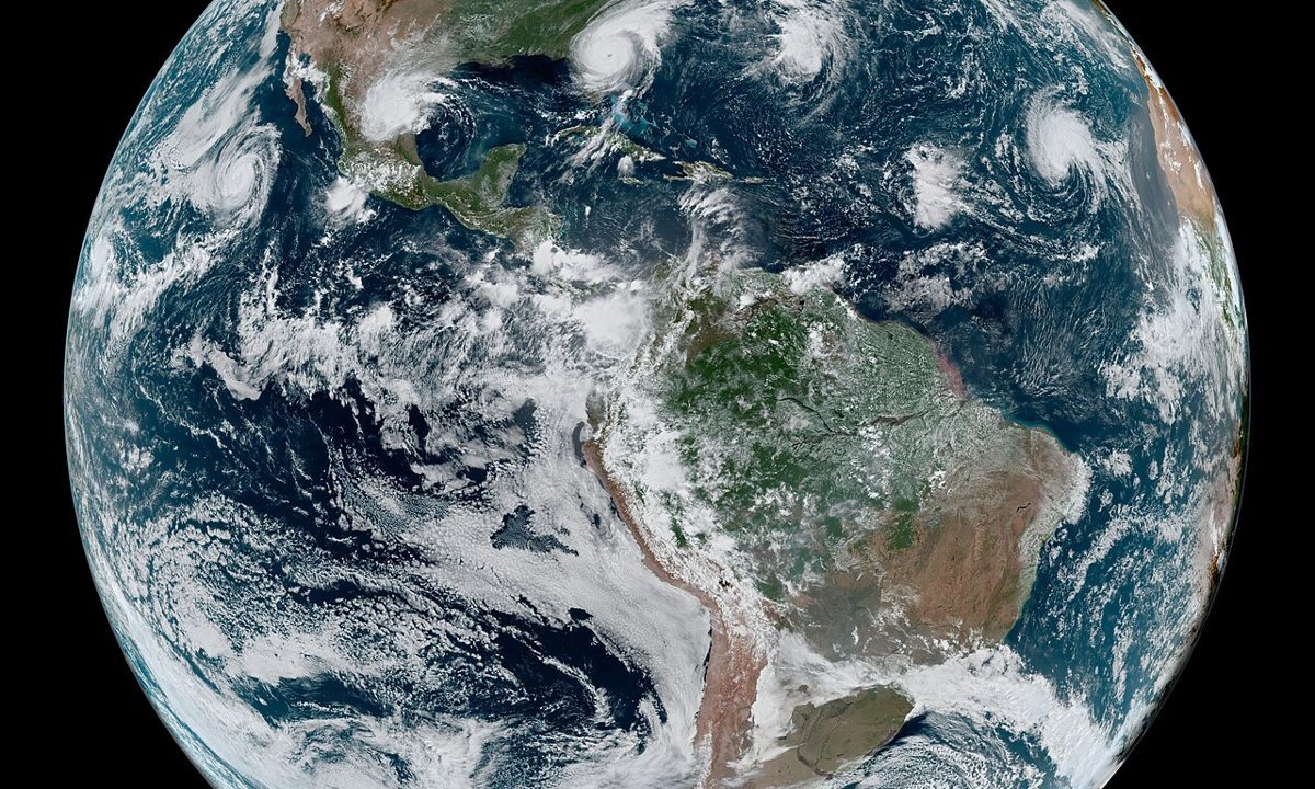
Forecasters combine satellite imagery, which shows the storm’s structure and movement, with radar when the storm comes within range of coastal stations, with observations from ships, buoys and aircraft where available, and with numerical weather models that simulate how the atmosphere will evolve over the next days. No single instrument is sufficient: satellites see the top of the storm but not the winds at the surface, models disagree with each other, and observations are sparse over the open ocean. The skill of forecasting lies in weighing those sources against each other, and in updating the forecast as new observations arrive, which is why bulletins are issued several times a day and why a forecast track on Monday morning may look different from the same forecast on Monday evening.
Why the forecast still leaves uncertainty
The forecast for Arnab puts landfall between Bapatla and Visakhapatnam on October 28, with sustained winds of 115 to 125 kilometres per hour and gusts up to 140 kilometres per hour, along with a possible storm surge of 1.0 to 1.5 metres near Kakinada and Yanam. Those numbers are the best estimate from current data, but a shift in track of a few dozen kilometres, or a change in forward speed, can move the worst wind, rain and surge from one district to another. That is why officials in Andhra Pradesh, who identified around 570,000 people as vulnerable, and in Odisha, which readied shelters and response teams for its southern districts, prepare for a range of tracks rather than a single line on a map. Technology has made cyclone forecasting far more accurate than it was a generation ago, and the proof is in falling death tolls. But technology has not removed uncertainty, and the honest forecast is one that states its uncertainty clearly, so that people prepare for the range, not only for the centre line.