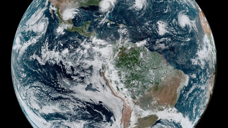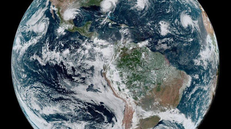
The warning grid behind Cyclone Arnab moved more than 100,000 people to safety, and the grid itself deserves attention. A cyclone warning is not a single forecast. It is a system: satellites that track a depression in the Bay of Bengal, ocean buoys that measure sea temperature, models that narrow the landfall window, and a communication chain that carries the warning from a forecast office to a district officer, to a village, to a family deciding whether to leave. Arnab’s evacuation succeeded because that chain worked, at each link, under time pressure.
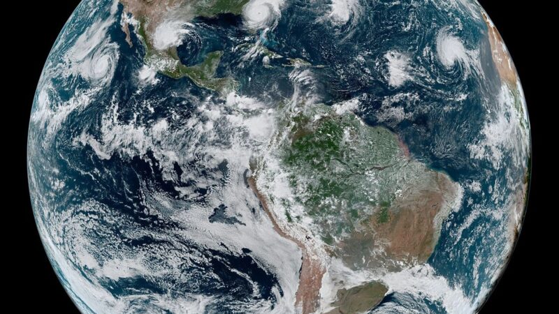
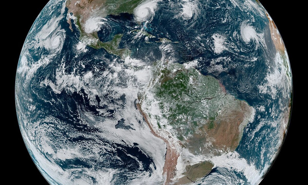
The first link is detection. A Bay of Bengal depression becomes a cyclonic storm through a process that forecasters can now track from formation, with satellite imagery showing the organisation of clouds and the development of an eye. The second link is the cone: a narrowing area of possible landfall, updated as new data arrive, that allows officials to identify which coast, and then which towns, are in the surge path. The third link is the warning itself, which must be specific enough to act on: which towns, which surge height, and when. Yesterday’s report on the warning grid behind Arnab described how early alerts moved 100,000 people; today’s inland phase tests whether the grid can also warn about rain, rivers and roads, not only wind and surge.
Technology, and trust
Technology alone does not move people. Trust does, and trust is built when warnings prove accurate over years. A forecast that correctly predicts a landfall town makes the next warning more credible. A forecast that misses, or that warns a town that is then spared, makes the next warning harder to follow. That is why forecasters are cautious about narrowing the cone too early, and why officials are cautious about ordering evacuations too broadly: both errors, in opposite directions, erode trust.
Arnab’s grid also relied on low technology as well as high: loudspeakers, local officers, and community networks that carried the warning to people without television or reliable mobile signal. A warning system that only reaches smartphone users will miss the people most at risk, who are often the poorest and the most exposed. The grid’s strength is therefore measured not by its satellites, but by its last mile.
The next grid to build
The next grid to build is inland: rainfall forecasts at district scale, river gauges that warn of flooding hours before it arrives, and communication systems that name rivers and roads rather than only districts. That grid will be harder to build than the coastal one, because inland flooding is dispersed and because its warnings must compete with the visible calm after the wind has passed. But Arnab’s coastal success shows what a working grid can do. More than 100,000 people moved, and the early toll was reported as zero. That is the standard the inland grid must now meet.