

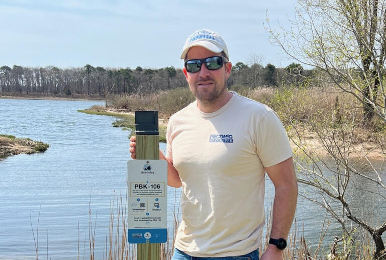

A new program launched by the Peconic Baykeeper aims to help visualize how warming waters and rising tides are reshaping the East End’s shorelines, by building crowd-sourced photo databases from different points around the Peconic Estuary that document the changing shape of the coast in real time. The effort is called Project R.I.S.E., short for Recording Inundation Surrounding the Estuary.
Fifteen stations have been set up, each consisting of a four-foot wooden post topped by a cellphone cradle, with a sign that asks passersby to put their smartphone in the cradle, snap a photo and email it to a website dedicated to compiling the photos in chronological order over the course of several years. The Project R.I.S.E. stations stretch from downtown Riverhead to as far east as Orient on the North Fork, as well as East Hampton, Southampton and Noyac to the south, and two at Mashomack Preserve on Shelter Island.
“We’ve really tried to capture the estuary as a whole, not leaving any town out,” said Peter Topping, architect of the program and executive director of the nonprofit water protection advocacy group Peconic Baykeeper.
Mr. Topping grew up on the water, first at the East Hampton Town Shellfish Hatchery and later in his current position at Peconic Baykeeper — and over time noticed subtle but unmistakable shifts in the East End’s shorelines.

“You would just notice these big flood tides and shorelines shifting, sandbars shifting, and it just seems like there’s more and more flooding happening more and more often, even on these calm, sunny days.”
Long Island sea levels are projected to rise between 13 and 25 inches by 2050, and as much as 69 inches — nearly six feet — by the end of this century, according to the state Department of Environmental Conservation.
The project, first reported by the East End Beacon, has been underway for only two weeks but is already showing promise, Mr. Topping said in an interview.
“We’re already getting submissions,” he said, explaining how he sought to make the process as easy and seamless as possible in order to get the public engaged.
“You don’t need an app. You don’t need an account and all the photos being submitted are anonymous,” he said. “I think people are a little wary of their information being all over the place.”
Once snapped, photos should be emailed to [email protected], with the subject line indicating the station where the photo was taken.
“What’s really cool about this platform is that you can go on the webpage for each site and download and look at any of the pictures,” Mr. Topping said.
The project is part of an effort to educate the community about the growing threat of climate change, particularly summer visitors who are out east only a few months a year.
“Any of us that spend time along the coast, we see the increased flooding. But we have a lot of people living on the East End who are seasonal,” Mr. Topping said.. “You see it every spring: You find the kayaks all over the place because people leave them just above the high tide line. And I think there’s kind of a lack of a public perception — especially with our seasonal community — with grasping some of these changes. I just thought it was a great way to capture what’s going on around the estuary as a whole.”
Mr. Topping said the project has been funded with grants through the Peconic Estuary Partnership for the next five years.
“I think at five years you’re going to see a little bit going on,” he said, “but I think once you start looking at 10, 15, 20 years … we’re going to see some trends of water levels rising.”

With plans to add at least several more stations around the estuary’s shoreline, Mr. Topping is confident in the program’s promise.
“I thought it’d be a great project for students that were interested in doing science projects related to climate change. I think there’s a lot of potential. I don’t know exactly where this is going to go, so it’s kind of exciting and feels like a new frontier,” he said, adding that, for him, the project is more than just a science experiment.
“I love the Peconic Estuary — that’s why I’m in the position I’m in right now. So I kind of think of it as a love letter to the Peconic.”
24World Media does not take any responsibility of the information you see on this page. The content this page contains is from independent third-party content provider. If you have any concerns regarding the content, please free to write us here: contact@24worldmedia.com
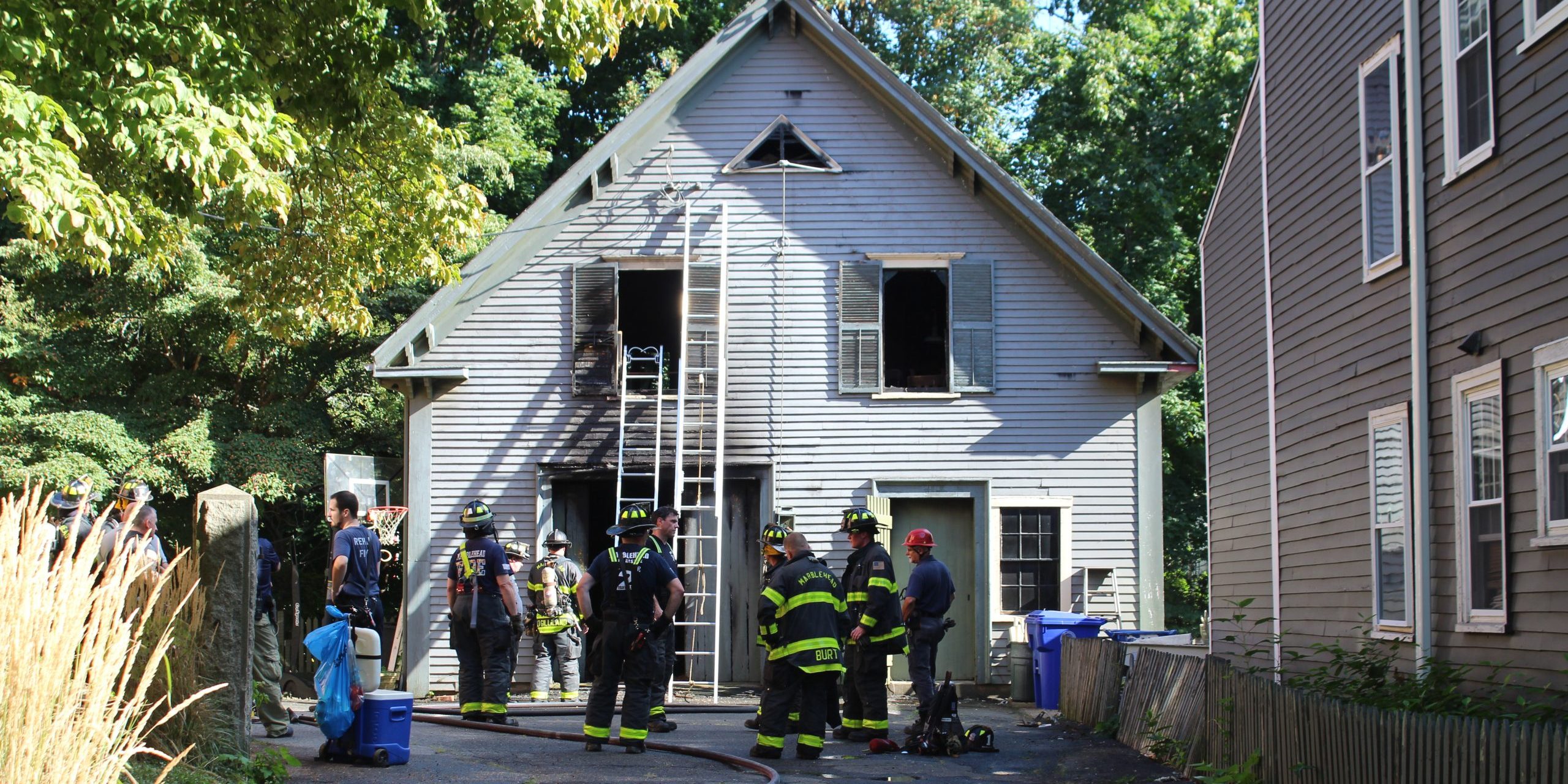
MARBLEHEAD — Marblehead firefighters quickly extinguished a fire that broke out in a barn on Pleasant...

Peconic Landing in Greenport hosted its annual music and fireworks celebration on Sunday as the summer...

I didn’t think two men riding bikes would make me think really hard about life. I was in Swampscott the...

NAHANT – The Council on Aging will host a free Medicare Workshop on Monday, Sept. 14, with Malden-based...

PEABODY — Running was something Chris Sakelakos and his wife, Christina, shared long before cancer...

To the editor: Unless enough of us object, one of President Trump’s Freedom 250 trucks, with its...

Police Logs: Aug. 30, 2026
Saugus board solves unusual zoning issue

Editorial: Sometimes the best classroom technology is none at all

CALL IT A CLASSIC
Letter: These midterm elections are a crucial moment for food access in our community

David “Mac” MacEwen: Support service members, long before they become veterans at risk of incarceration
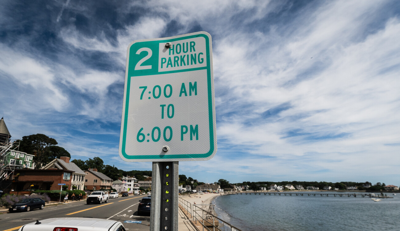
Swampscott seeks to improve parking enforcement
From Lynn Tech to Cornell, Awan is making waves

St. John’s Prep off to quick start

Lynnfield’s Antidormi hopes to fly with Falcons
Artists invited to transform Peabody street
Peabody pedals toward e-bike safety forum